
OK, so you know Utah's nickname is the Beehive State and that it was the 45th state to enter the Union.
But how much do you know about Utah's vast and varied geography? Its mountains, lakes and deserts?
Here's a pop quiz on Utah geography (with a little history mixed in).
(Each correct answer is worth three points)
1. Where did the name for Kings Peak, Utah's tallest summit, originate?
2. What is the second-tallest summit in the state?
3. What is the tallest summit in the Wasatch Mountains?
4. What is the state's tallest mountain outside the Uintas?
5. Salt Lake County's tallest mountain is?
6. What Utah city has the highest elevation?
7. What Utah city has the lowest elevation?
8. Downtown Salt Lake City's elevation, within 200 feet, is what?
9. What paved road has the highest elevation?
10. The steepest paved state road in Utah is?
11. What is the state's lowest point?
12. What is Weber County's tallest summit?
13. Peter Sinks, near Logan Canyon, recorded Utah's coldest temperature. What area recorded the second-coldest?
14. Delicate Arch may be Utah's most famous, but what is the largest?
15. What county is South Weber in?
16. Utah's tallest year-round waterfall is?
17. The sheerest cliff in Utah is?
18. The Wah Wah Mountains straddle three counties. Name one.
19. A town named, in a backward way, for Utah's geographic center is?
20. Bryce Canyon National Park isn't a canyon at all. What is it?
(Each correct answer is worth two points)
1. Based on vertical rise (the elevation difference from city floor to a nearby mountain top), the Utah town with the greatest elevation difference is:
a. St. George
b. Moab
c. Nephi
d. Salt Lake City
2. Salt Lake City was originally called:
a. Lake City
b. Salt City
c. Great Salt Lake City
d. Deseret
3. Deseret means:
a. desert
b. honey bee
c. promised land
d. Mormon
4. What area received the most precipitation in a single water year?
a. Logan Canyon
b. Kings Peak
c. Little Cottonwood Canyon
d. Provo Canyon
5. What location received the least amount of precipitation in a single water year?
a. St. George
b. Delta
c. Callao
d. Wendover
6. What town had the lowest-recorded temperature?
a. Logan
b. Woodruff
c. Randolph
d. Alta
7. What city had the highest-recorded temperature?
a. Hanksville
b. St. George
c. Salt Lake City
d. Moab
8. The deepest known cave in Utah is:
a. Danger Cave
b. Logan Cave
c. Cache Cave
d. Neff's Cave
9. The oldest living thing in Utah is:
a. The Limber pine
b. The Jardine juniper
c. The Ashley Joshua
d. The Ute Stump
10. The Utah lake with the highest elevation is:
a. Upper Red Castle Lake
b. Mirror Lake
c. Moon Lake
d. Granddaddy Lake
11. "Wahsatch" is located in what county?
a. Wasatch
b. Summit
c. Morgan
d. Rich
12. The main river that cuts through Zion National Park is:
a. Sevier
b. Paria
c. Virgin
d. Kolob
13. Utah's largest county by land area is:
a. Box Elder
b. San Juan
c. Tooele
d. Millard
14. Utah's smallest county by land area is:
a. Davis
b. Weber
c. Morgan
d. Daggett
15. Utah's total area in square miles (rounded off to the nearest thousand) is:
a. 85,000
b. 100,000
c. 50,000
d. 95,000
16. Davis County's highest point is:
a. Francis Peak
b. Bountiful Peak
c. Thurston Peak
d. Layton Peak
17. The deepest spot in the Great Salt Lake (at an average 4,200-foot lake elevation) is:
a. 25-30 feet deep
b. 30-35 feet deep
c. 35-40 feet deep
d. 40-45 feet deep
18. Bear Lake's average maximum depth (when the lake is full) is:
a. 90-100 feet
b. 150-160 feet
c. 190-210 feet
d. 220-250 feet
19. Utah's state borders are not defined by straight lines. Utah's most crooked border is:
a. Its north border
b. Its south border
c. Its west border
d. The lower half of its east border
20. The "Subway" is located in which Utah national park?
a. Bryce Canyon
b. Zion
c. Capitol Reef
d. Arches-----------------------------------------------------
Answers to Part I
1. Kings Peak was named for Clarence King, a geologist and surveyor in the Uinta Mountains from 1868-1871.
2. South Kings Peak. The peak is less than a mile from Kings Peak and is 14 feet shorter. (South Kings was believed to be Utah's highest until 1966.)
3. Mount Nebo. (The mountain's northernmost peak — it has three — stands at 11,928 feet above sea level.)
4. Mount Peale in the La Sal Mountains southeast of Moab measures 12,721 feet above sea level.
5. The western summit of the American Fork Twin Peaks (above the Snowbird tram) is 11,489 feet above sea level. (The eastern summit of American Fork Twin Peaks tops out at 11,433 feet above sea level.)
6. Brian Head (9,600 feet above sea level).
7. St. George (2,880 feet above sea level).

Pencil drawing by Steve Arave.
8. The Salt Lake Temple sits at 4,340 feet above sea level.
9. The Mirror Lake Highway (U-150) crosses Bald Mountain Pass at the 10,759-foot elevation.

10. U-143, from Parowan to Cedar Breaks National Monument has a 13 percent maximum grade.
11. Beaver Dam Wash, southwest of St. George (2,350 feet above sea level).
12. Willard Peak, on the Box Elder County line (9,764 feet above sea level).
13. The Middle Sinks area of upper Logan Canyon recorded 64 degrees below zero on Jan. 18, 1984. Peter Sinks bottomed out at 69 degrees below zero on Feb. 1, 1985.
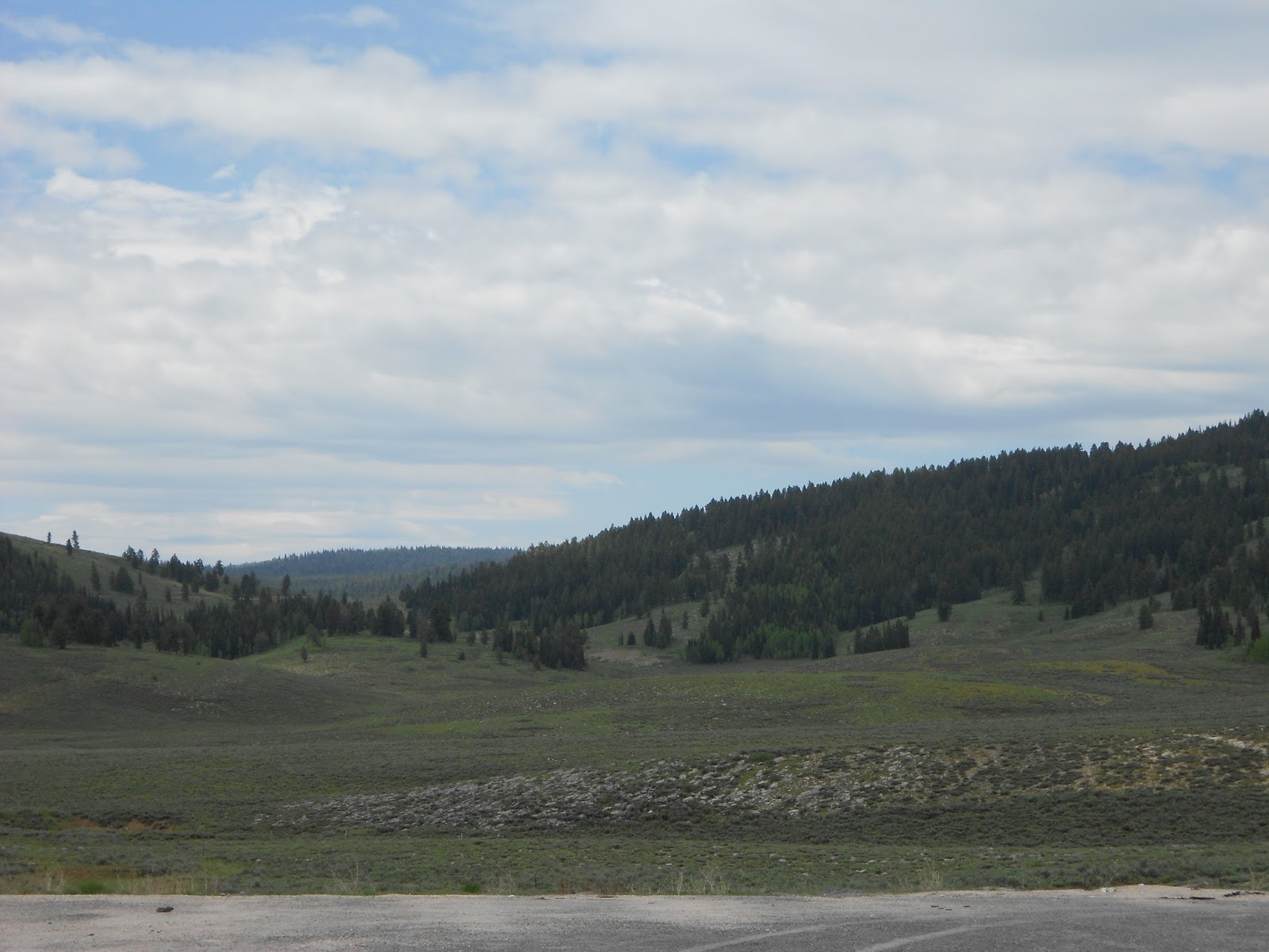
Middle Sinks area of upper Logan Canyon.
14. Kolob Arch, with a span of 310 feet, in Zion National Park. (Landscape Arch in Arches National Park measures 306-feet across.)
15. South Weber is in Davis County.
16. Bridal Veil Falls in Provo Canyon, with a 430-foot drop in two sections and an overall cascade of 604 feet.
17. Notch Peak, Millard County, has a 5,000-foot drop of almost 90 degrees on its west face.
18. Beaver, Iron and Millard
19. Levan
20. Bryce Canyon is an amphitheater — not a canyon — hollowed out of the Pink Cliffs by time, moisture and wind.
Answers to Part II
1. a. From Moab, at 4,000 feet, to Mount Peale, at 12,721 feet, has the greatest elevation difference at 8,721 feet.
2. c
3. b
4. c. The top of Little Cottonwood Canyon received 98.3 inches of moisture during 1983-84.
5. c. Callao, south of Wendover, had 0.71 of an inch of moisture during the 1952-53 water year.
6. b. Woodruff had a 50-degree below zero reading on Feb. 6, 1899.
7. b. St. George hit 117 degrees on July 5, 1985.
8. d. Neff's Cave, on lower Mount Olympus, is 1,170 feet deep.
9. b. The Jardine juniper in Logan Canyon is believed to be 3,200 to 3,500 years old.
10. a. Upper Red Castle Lake in the High Uintas is 11,600 feet above sea level.
11. b
12. c
13. b (7,725 square miles)
14. a (Although the county is 620 square miles, approximately 268 square miles of it is usable land. The rest is in the Great Salt Lake).
15. a (85,000 square miles).
16. c (9,706 feet above sea level).
17. b
18. c
19. d
20. b
SCORING
75-100: You're a geography whiz
60-74: You're very knowledgeable
45-59: Good score
30-44: You need to study a Utah map
Under 30: Sign up for Utah Geography 101
SOURCES: Utah State Highway maps; U.S. Forest Service maps; Deseret Morning News Archives; the National Weather Service; www.nps.gov;historyforkids.utah.gov.
(-Originally published in the Deseret News, April 30, 2004, by Lynn Arave.)
-NOTE: The author, Lynn Arave, is available to speak to groups, clubs, classes or other organizations about Utah history at no charge. He can be contacted by email at: lynnarave@comcast.net
No comments:
Post a Comment