
THE 5-mile dirt road from the top of Farmington Canyon to Francis Peak was NOT built in the late 1950s when the Francis Peak radar station was constructed. It was built more than 20 years earlier by the CCC (Civilian Conservation Corps) and was completed in 1938.
According to the Davis County Clipper of Sept. 2, 1938, men of the CCC Company No. 940 constructed the five mile road in a two year project. It started as 12-feet wide and the U.S. Forest Service widened it to 22 feet.
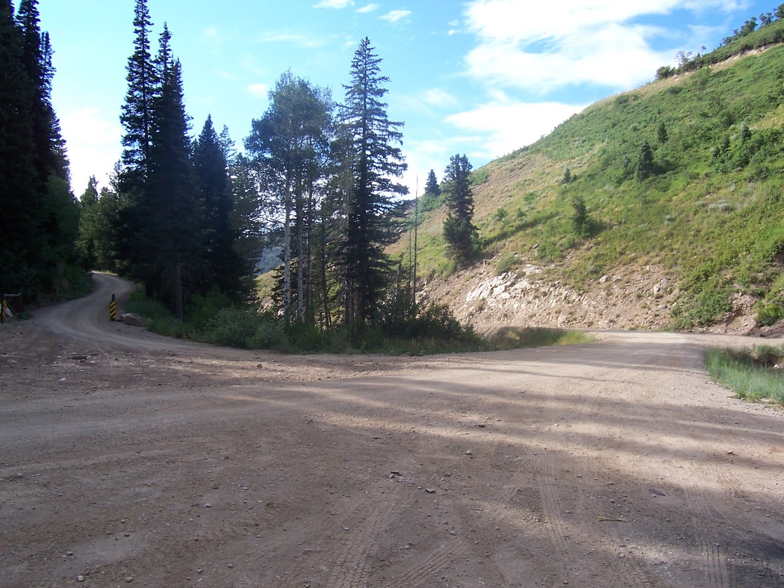
"It will open up the scenic beauty around Francis Peak," the Clipper story stated.
The initial purpose of the road was to support erosion control. That's because the Farmington area suffered devastating floods in the 1920s, from overgrazing and also sudden cloud bursts.


-That same year, the Salt Lake Telegram newspaper heralded the completion of the entire mountain road, with the headline, "Farmington and Bountiful connected by scenic loop" was an Aug. 31, 1938 headline in the Telegram. This 17 mile stretch was also constructed by the CCC. (The side road north of Francis Peak was a connecting route.)
The road, today's "Skyline Drive," was begun in 1933 by the CCC for erosion control and access. The steepest portion of the road is through Farmington Canyon and that section is 7.5 miles long.
In order to avoid drilling through rock, the Canyon road included two bridges.
The Bountiful Peak Campground and Picnic Area is about one mile south of the top of Farmington Canyon. That facility was dedicated on Aug. 22, 1941, according to the Clipper of Oct. 15, 1941.

-It didn't happen, but in 1940, plans were proposed to connect the Davis County mountain road with Emigration Canyon. The Salt Lake Telegram of March 27, 1940, reported the proposal by the U.S. Forest Service. Likely, the United State's entrance into World War II at the end of 1941 doomed that ambitious plan.
However, that tentative road was surveyed as 29 miles long and run along the edge of City Creek and end at Little Mountain in Emigration Canyon. (Originally, the road was to go all the way to Parley's Canyon.)

No comments:
Post a Comment