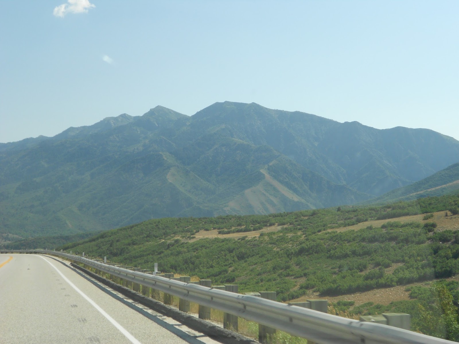
A lofty view looking south along U-167.
WHERE'S the original Trapper's Loop in Weber and Morgan counties, used by pre-1847 trappers and Native Americans?
It is not the lofty paved highway, U-167, that opened in September of 1989.
Neither is it the much lower elevation dirt road to the east that some hunters and area land owners still use.
According to William H. Terry, a late historian from Ogden, the original trail is now non-existent.
The first loop was a Shoshone Indian trail that followed Hawkins Creek from the Ogden Valley side, went over the ridge and down into the Mountain Green area in Morgan Canyon. The trail followed water and food sources.
Terry told this to the Deseret News at age 84, in the spring of 1990. (It is Terry who wrote the words that are blazed on many area historical markers, such as the one at the top of North Ogden Divide, or at the Mountain Green rest stop along I-84.)
Terry said the "loop" description came about because travelers would loop back and forth the same way. He said Hawkins Creek is between the new paved Trapper's road and the old dirt road, so while neither of these two roads follows the original trail, the dirt road at least comes closest to the original path and is within a few hundred yards of Hawkins Creek at its summit outside Ogden Valley.
Soon after 1860, when the Ogden Valley was settled (it was called Ogden's Hole then), coal was hauled across the route, so at one time it was called the "Old Coal Road."
A 1989 view of the dirt road along "Trapper's Loop," at the midway point.
Trapper's Loop was just a trail until the 1920s, when the first wagons were taken across it between the Ogden Valley to Mountain Green. Terry said he was part of a Works Progress Administration government survey for a new road in that area during the summer of 1934. However, the road he surveyed was never built, but the current dirt road was constructed years later, probably during the 1940s, in a somewhat different place.
The name Trapper's Loop, according to Terry, wasn't coined until 1968, probably as a result of some editorials in the Ogden Standard Examiner newspaper. Until that time, the route had usually been referred to as the Mountain Green-Huntsville trail or road.
The newest "Trapper's Loop road is curvy.
A timeline of Trapper's Loop travel:
Pre-1800s: Before the white man, Shoshone Indians started at Hawkins Creek, passed over the mountains and into Mountain Green to the Weber River.
1824: Trappers enter the region, and Peter Skene Ogden is believed to be the first to lead trappers over the trail a year later.
"Our coarse this day south over a hilly country for 10 miles when we again reached a new river but had nothing but some stone and gravel without any appearance of beaver . . . ," Ogden wrote in his diary.
1920s: The first wagons, as well as the Weber and Morgan county commissioners, travel the loop, referred to as the Mountain Green-Huntsville Road. It is envisioned as a major route between Weber and Morgan counties.
1934-1935: The first actual proposal to build a good Trapper's Loop road is presented to the Legislature. The government surveys the route.
1940s: The Trapper's Loop dirt road is built.
1968: An editorial in the Ogden Standand-Examiner is credited with coining the name "Trapper's Loop."
1989: On Sept. 23, the new Trapper's Loop (U-167) opens after $14 million, three years of actual construction and 54 years of proposals. The dirt Trapper's Loop road is turned over to Weber and Morgan counties for maintenance.
(Later, a direct access road to Snow Basin was added as a spur road off Trapper's Loop, in time for the 2002 Olympic Games.)
Why the new road?
--Ever wonder why it took about three years to pave and open the new Trapper's Loop Road, or why the existing dirt road wasn't used?
That's because it was built from scratch. The original dirt road, also named Trapper's Loop, was untouched.
Why wasn't the old Trapper's Loop road just paved over for the new road?
Lynn Zollinger, an engineer for the Utah Department of Transportation, said initial considerations included using the original Trapper's Loop road for a modern paved highway. However, several geologic factors changed that decision.
Zollinger said the dirt road travels over unstable soil and crosses several potential landslide areas. The original road also has far too steep a grade in the first two miles from the Huntsville side.
The new paved road, just west of the earlier road, is about 1.5 miles longer but has a more gentle grade, making it easier and safer for vehicles.
The two Trapper's Loop roads are different in many ways, though they are perhaps within 600 yards of each other at their closest points and within a mile or so at their most distant. Consider these differences between the two:
Road conditions:
- The old road is made of extremely hard dirt and clay. It's barely wide enough for one vehicle and is also so rugged that it is only suitable for trucks, motorcycles or mountain bicycles.
- The new road is a modern, paved, three-lane highway, with a passing lane on each climbing side.
Elevation changes:
- Leaving the Ogden Valley, the old road starts out extremely steep and climbs 900 feet in the first four miles, but from there it drops dramatically and passes through numerous small unnamed hollows and canyons, far below the newer highway. This road offers only a few bird's-eye views of the area.
- The new road is only slightly higher at its apex as it climbs much more gradually to an approximately 6,000-foot-plus summit before dropping over the Mountain Green side. Thus, there's almost a never-ending view of the surrounding area and the Wasatch Mountain backdrop behind Mount Ogden.
Length:
- The old road is roughly eight miles long.
- The new road is 9.5 miles long.
Usage:
- The old road is rarely used, except by an occasional truck or horse, and offers solitude.
- The new road is used almost continually by sightseers and by Ogden Valley residents heading to Salt Lake City.
Age:
- The old dirt road has probably been around for almost 75 years.
- The new road was built from scratch, starting in 1986.
The Old roadway evokes pioneer spirit:
I found it next to impossible in the spring of 1990 to locate exactly where the original Trapper's Loop trail went. Also, since fences, livestock and private land are prevalent in the area, I chose to settle for traveling the Trapper's Loop dirt road on a mountain bike in order to get a feel for what the trappers and Indians might have felt and saw as they went through the same area. Here are my observations and thoughts:
On the Ogden Valley side, the original Trapper's Loop begins just east of the Jackson Fork Inn, about 600 yards east of the new highway. The beginning elevation is about 4,900 feet. Approximately 500 yards up the road, a metal gate makes it possible to close the road for bad weather.
The road is rough and the climb taxing for the first two miles, as it rises to 5,800 feet above sea level. Surprisingly, the old road is higher at this point than the new one, and there are some contrasting scenic views available here.
Heading on, it's almost all downhill through various hollows. The road crosses the Weber-Morgan county line just after the summit, though there are no signs.
The road crosses over four streams, and since there are no bridges, you have to ford your way across. One stream bed was dry, but high runoff could easily block this road. That at least shows this road hasn't lost all of its frontier flavor. . . .
Sometimes the road passes through desert sage, while at others it is lined by aspen and oak brush. The road has spectacular views, only exceeded by the new Trapper's Loop road, with its higher elevation and better lookout points. The new road can be seen in the distance several times along the way.
The old road travels through an area of mostly privately owned land. In fact, about a mile from the Mountain Green side it is posted with "No Trespassing" signs, so legally cannot be traversed completely.
Numerous side roads head off the main dirt road. Some probably cross private grazing land, but most appear to eventually intersect the new highway to the west.
Overall, the old road is probably more like the original trail used by Indians and trappers than the new highway, since the unpaved route travels through more canyon areas that likely offered water and better opportunities to hunt wildlife. Indians and trappers probably weren't concerned as much about the view or long-term safety from landslides as they were with simply getting across the area by the easiest way possible on foot or horse.
I crossed the original loop, too, knowing that much of what I saw was very much like what trappers and Indians would have seen. Also, I was no longer upset at the notion that a new Trapper's Loop road had to built. After all, the new highway does offer better scenic views of the area and the route is a much safer location for a modern highway.
But more importantly, the new route allowed the old dirt road to remain a rough, frontier-type trail more evocative of the pioneer spirit.
(-Expanded from a Deseret News article by Lynn Arave on May 17, 1990. He mountain biked all the dirt "Trapper's Loop" that was publicly accessible at the time.)
-NOTE: The author, Lynn Arave, is available to speak to groups, clubs, classes or other organizations about Utah history at no charge. He can be contacted by email at: lynnarave@comcast.net

.jpg)